This time we are in the Northwest Territories of the Canadian Arctic.

Tsiigehtchic (="mouth of the iron river") is a native village on the banks of the Mackenzie River, where it is joined by the tributary Arctic Red River. This is a strategic point on the Dempster Highway, the great northern highway to Inuvik; here the crossing of the river is still done by ferry.


The natives of this region are the Gwich'in people, belonging to the Athabascan family (Navajo, Apache), with a traditional hunter-gatherer lifestyle.


Tsiigehtchic (Arctic Red River) , NWT Canada
Population: ~170
Located at the confluence of the two rivers, perched high above the bank, Tsiigehtchic is also worth noting for its setting.

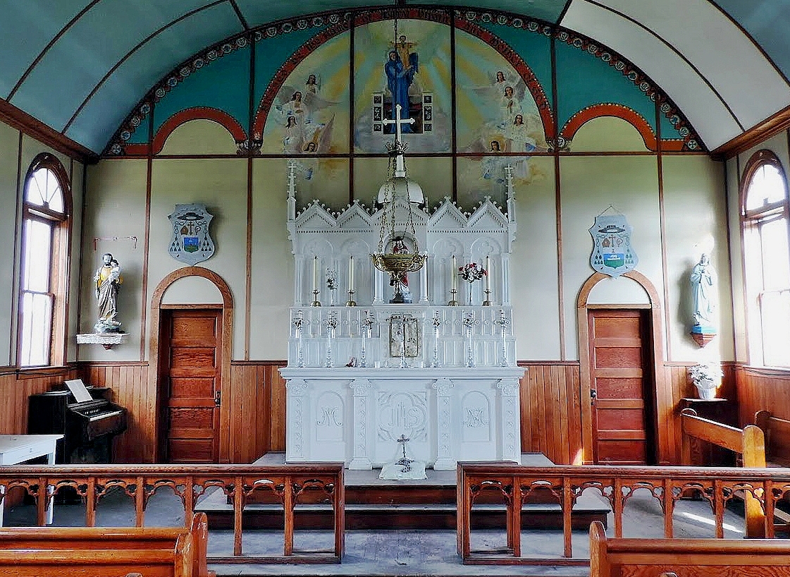
The Catholic Mission was made up of two churches from 1895-1896, facing each other. The present day buildings, a church and a chapel, are later buildings from the 1920's.


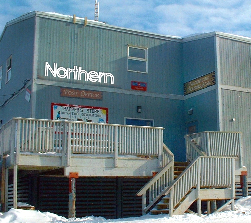
Local trade focuses on the Northern warehouse, a two storey buliding.


There are just over 170 inhabitants, who still follow a traditional way of life of hunting and fishing with traps. Many of them go away for long months, “out in the lands”, as they always have.


In winter the rivers usually freeze and can be crossed by marked ice roads.


The Dempster Highway Ferry Crossing
The Dempster Highway is 740 km long on dirt road, between Dawson City and Inuvik, and reaches the Arctic Ocean after crossing the Yukon and the NWT, crossing the Polar Circle and offering unique scenery of open spaces and remote beauty. Split by the Mackenzie river, only a ferry crossing allows the connection.

Its course runs on both the other river banks with a possible connection to Tsiigehtchic.


The Louis Cardinal ferry


The road ends near Tuktoyaktuk, by the Arctic Ocean.
