Thursday, 5 August 2010

Unalaska, Aleutian islands

The Aleutian Islands are a streched archipelago of volcanic islands that reach far into the Bering sea. That remoteness is also the source of their income: fabulous fisheries, mainly crab and halibut...

The islands have frequently changed sovereignty, but they were integrated in U.S.Alaska in 1867. The main settlement is Unalaska / Dutch Harbour, a community of about 4 000 residents.

Unalaska is located at 53°53′ N, 166°31′ W

The city enjoys a strategic position near the center of the nation's most productive fishing grounds and is the hub of the transshipment of cargo between Pacific Rim trading partners.

Nine thousand years ago, the Unangan people, ancestors of the Aleuts, settled here and throughout the Aleutian Islands. Russian explorers arrived in 1759 and the Russian influence has remained strong ever since.

The Cathedral

The Russian Orthodox Cathedral of the Holy Ascension, built in 1896, is the oldest cathedral in Alaska.

Some bald eagle is always sitting on top of the cathedral’s crosses over the ognions.

Bald eagles are all around town and harbour.

The Harbour

Dutch Harbor, the official name of the city's port, is often applied to the portion of the City of Unalaska located on Amaknak Island, which is connected by bridge to the rest of the community on Unalaska Island .

The ships and their crew are the true stars and heroes in Dutch Harbour.
Many of the fishing vessels became famous in the TV Discovery documental series “Deadliest Catch".

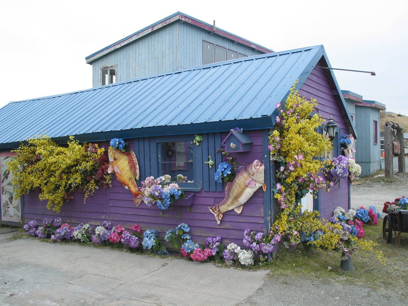
"Sheila´s B&B”, a 1897 wooden house on main street.

Isaalux bridge (meaning “safe crossing”) goes over a little stream from main street to the library.

Museum of the Aleutians
http://www.aleutians.org/

The museum is a must see for both locals and visitors. Perhaps the best small town museum in Alaska, it has a great archaeology collection, Unangan crafts, WWII memoriabilia, and historical displays.

Aleut hat of walrus whiskers

The volcanic ring

Mt Shishaldin is a moderately active volcano on Unimak Island with nearly 40 historic eruptions, which have been brief and explosive.

The most symmetrical cone-shaped glacier covered large mountain on earth, the volcano's topographic contour lines are nearly perfect circles above 6 500 feet.

http://www.unalaska.info/

Wednesday, 21 July 2010

20 000 visits - Thank you!


Slowly and few, like life in the arctic, the visits to Ultima Thule reached the twenty thousand. I am rather happy, in fact, this is not for everybody's taste. I´ll keep on travelling and discovering, and I thank all those who came ashore hereby, and, particularly, my followers ♥ !

Saturday, 17 July 2010

Sein island (Île-de-Sein),

Brittany, France

Now this Ultima Thule in France´s Finistère may not be so remote and northernly as others I have reported here, but it is surely magic in its wilderness, situation and life style. Getting there is not a hard adventure, but living there is.


This piece of rock is certainly the strangest island off the coast of Brittany, one of the six Celtic nations.
Île-de-Sein is a french islet in the Atlantic Ocean, 10 km off the extreme northwest of Finistère, 2 km long for at most a few hundred metres wide. Nowhere does it rise more than six metres above the surrounding ocean.
Lying on the sea routes going south from the English Channel, Sein is well known for the dangers of its waters. The Chaussée de Sein, a vast zone of reefs, stretches for more than thirty miles from east to west, requiring numerous lighthouses, to prevent increasing the large numbers of shipwrecks in the past.


The Island of Sein has been inhabited since prehistoric times, and it was reputed to have been the very last refuge of the druids in Brittany . Some menhirs can be found there.


Three hundred islanders continue to make their living from the sea, gathering rainwater and seaweed and fishing for scallops, lobster and crayfish.

Quai des Paimpolais
  

The village
 
In order to be protected from the sea and storms, the village has very narrow streets, a real labyrinth. The streets twist and turn against the wind, and in most places are built only wide enough to roll a barrel. Only bicycles are allowed.


Details of sea life decorate most houses, in the dominating blue colour.


On the blackboard - "croissants available by command for Christmas and New Year's Eve". That shows how isolated the island is from mainland.

Phare de la Vieille
One of the most famous French lighthouses, this tower is built on a rock that half way from mainland to Île-de-Sein. In big sea storms, waves crash against the lighthouse and seem to swallow it - but La Vieille always keeps working.

Thursday, 8 July 2010

Tuktoyaktuk,

like a caribou

The village of Tuktoyaktuk

Tuktoyaktuk is a small very northern settlement near the Mackenzie River Delta, in Canada, located on the Arctic tree line, at the shores of the Arctic Ocean, called here Beaufort Sea.

Pop. around 900 habitatants

Location 69°26′ N 133°01′W

This area was for many years under exploitation for fur trade by the Hudson Bay Company. Many locals still hunt, fish, and trap. They rely on caribou in the autumn, which they keep frozen underground, on ducks and geese in both spring and autumn, and fishing year-round. Other activities include collecting driftwood, caribou herding, and berrypicking.

Inuit drum dancers

Tuktoyaktuk (=like a caribou) is the gateway for exploring Pingo National Landmark, an area protecting eight nearby pingos in a region which contains approximately 1 350 of these Arctic ice-dome hills.

A pingo is a a mound of earth-covered ice, a landform that raises from the earth as a result of the freezing and melting cycle. They last more than 1000 years - eventually, they collapse.

The Mackenzie river delta, in winter and in summer. The frozen river is the main winter road.

The road to Tuktoyaktuk is an ice road - it only opens for traffic in winter. It's traced on the river Mackenzie and on parts the Arctic Ocean ! During summer the village can be reached only by plane or boat.

Snowmobile instead of car

The old wooden catholic church


A cabin by the Mackenzie

From dogsled trips to the Midnight Sun, Northern Lights and pingos, Tuk has much to offer to an adventure visitor.

Mackenzie Street, Inuvik center (clic!)

Here at Inuvik you can find the main services - even a small café - coffee, espresso and cappucino at 69º N - north of the Arctic Circle !

Aerial view - a remote and extraordinary location, a place at the edge of the map - and if the mean sea level rises 2 feet this place will be wiped out.

Monday, 28 June 2010

The wondrous Arctic Summer nights

Probably one of the best spectacles on earth, a "midnight sun" summer night in an arctic environment can take you all night dreaming awake.

This one is a photo from one of my favorite arctic blogs, Kuummiut, taken recently by Carl Skou, which work I strongly recommend. As I recommend a visit to his present day living area, Tasiilaq and Kuummiut, on Greenland's East Coast, where he can rent you a cabin too. Those two settlements situated in the most incredible landscape, like a small many-coloured cascade of houses down the snowy slope to the sea bay, can be like a surrealistic heaven on earth in the right weather - but under strong winter winds life is really hard, and an arctic night can last months.

Now is probably the best season, some flowers blossom through the ice, the nights are more magic than the Arabian nights, and those settlements are after all equiped with the necessary basic goods. Even icecream if you like.

More Links:

For Kuummiut:
http://www.kuummiut.com/
And in Ultima Thule:
http://ultima0thule.blogspot.com/search?q=arctic+summer