 Klaksvík (pop. 5000) is the second largest town of the Faröe Islands.
Coordinates: 62°13′N, 6°34′W
Klaksvik is located on both rivers of a small fjord in Borðoy island, one of the archipelago's northernmost islands . Klaksvik lies between two inlets lying back to back.
As it is situated around a very well-protected bay, local skippers and their crews moved in here and the town started to develop and became the main fishing port in the islands.
 Háfjal mountain (647 m) is unmissable wherever you are in Klaksvik. It's at the top end of the inlet body of water, where an important harbour with fishing industry and a modern fishing fleet makes Klaksvik the second largest town in the Faröe.

The first settlement at Klaksvík dates back to Viking times, but it was not before the 20th century that the district merged to form a large, modern Faroese town that became the cultural and commercial centre for the Northern Isles and the Faröe Islands as a whole. Háfjal in winter
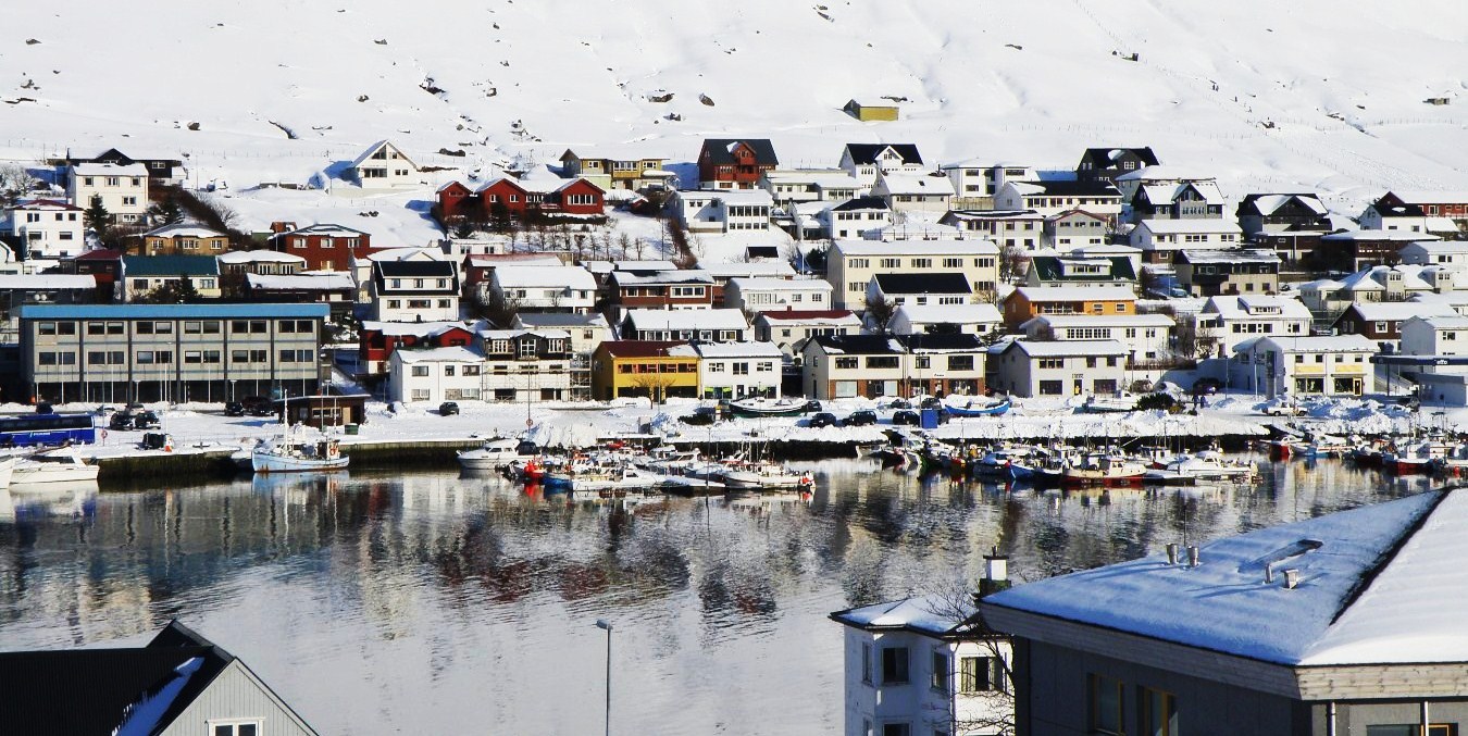 The main landmarks are the church, Christians - kirkjan, the museum, Nordoya Fornminnissavn, the brewery Føroya Bjór, the Weaving school and the Roykstovan pub.
 Interior of modern Christians - kirkjan (1963), dedicated to the memory of the sailors who lost their life during Second World War.

 Roykstovan pub
A smoky pub to meet friendly locals and have a few drinks.
 Føroya Bjórbrewery, a Faroese family brewery, founded in 1888.
 Old and new side by side in Klaksvik
 The beautiful Klaksvík Park
 Klaksvík in late afternoon light.
 The island of Borðoy
  Borðoy is an island of almost 100 km2, with an irregularly cropped coast and fabulous sceneries - waterfalls, sea inlets, small harbours and hamlets looking at the sea from up the cliffs.

 Múli, a very small hamlet that is one of the oldest in the islands, lies on the outermost northern edge of Borðoy's east coast, in a remote and almost inaccessible location (see map). Its settlement can be dated back to the 13th century.
 Borðoy in summer
 Borðoy in winter


